


A recent graduate of the Fit 4 Start Acceleration Programme, Portugese startup Nina Space wants to protect the world from wildfires with its technology. Founder Ekaterina Stambolieva talks to us about how the idea came about and how her team is working on a solution ultimately aimed at mitigating climate change.
What is Nina Space?
We believe businesses should make a commitment to future generations and fight global issues. We are fighting wildfires and we do it from space.
How did you come up with the idea?
The idea was born at the end of 2017. I was living in Portugal at the time. 6% of Portugal burned that year costing EUR 650 million in financial losses and severe damages. California wildfires, in comparison, left a bill of $180 billion.
Back in Lisbon, wildfires seemed so close and overpowering. We were constantly following the news to see how combat efforts were going. It was a disastrous year. This touched me personally as a nature lover. I have always been surrounded by green and trees. Wildfires threaten what I love: nature.
By working on this product, I know that our team would be working on providing a solution to wildfires ultimately mitigating climate change, something I cared so deeply about. I embraced the wildfire problem wholeheartedly – and our startup Nina Space was born.
I am a data scientist by profession and up until 2017, I was a consultant. I worked only on social and environmental projects, and helped other founders achieve their dreams.
“Satellite images are affordable if not free as ESA and NASA provide them. It is important for us to ensure our solution is automatic, scalable and affordable – so we chose to analyse satellite images in order to meet our end goal.”
1 hectare of adult trees emits ~1290 kg of CO2 when it burns, and sequesters ~300 tons of CO2 per year. It became clear to us that not only do we need to help to protect the natural world from wildfires, but also need to protect existing forests and help them become healthier. We work with the forestry industry in order to to optimize this management, help mitigate risks, and calculate carbon stock.
Here I can send you a plot of visually representing how much of the territory of Portugal burned in 2017. 6% does not seem significant but when you see it on the map – you would say- wow – this is indeed a disaster.
What are your products/services?
We fall under space-tech. We analyse satellite images to extract real-time information to provide our clients with information they can use to combat wildfires, diseases and anything else that hurts nature. We work with governments to help them with their mitigation plans. We, also, work with the pulp & paper industry to help them increase yields of their eucalyptus plantations and reduce wood loses due to wildfires.
The most effective way to fight wildfires is to take action even before the fire has started. This is called wildfire mitigation and mega fire prevention. There are a set of preventive measures that can be put in place around all types of assets in the countryside – such as houses, warehouses, commercial forests, agricultural land, to name a few – which drastically reduces wildfire risk.
We already have collected examples of how these have protected assets in previous fires. This being said – there are not enough human and financial resources to put everything in place.
Scalable monitoring of land is needed in order to prioritize and strategically select assets that need protection so the wildfire risk in the whole area is reduced. This is almost impossible at ground level. Drones and planes are also expensive. Satellite images are affordable if not free as ESA and NASA provide them.
It is important for us to ensure our solution is automatic, scalable and affordable – so we chose to analyse satellite images in order to meet our end goal.
“We work with governments and private companies who manage commercial forests and NGOs.”
What is your business model?
We monitor land remotely and offer subscription services to players who bring big contracts. Our pricing model is pay as you go /per hectare inspected.
Who are your clients?
We work with governments and private companies who manage commercial forests and NGOs. We help them monitor and take better care of their land.
Why did you apply to Fit 4 Start?
As a space-tech company, Luxembourg is the ideal place to be considering it is the space-tech capital of Europe. Luxembourg is also starting to invest in impact and purpose-driven companies.
We want to help the country move forward in this direction and lead by example. We had also heard amazing things about the program itself even before applying to it. Considering all this, it was an easy decision for us.
“We are expanding to new European markets along with the US. We are also raising seed capital.”
What did the Fit 4 Start program bring you?
The training is undoubtedly intensive. The most important lesson we have received from Fit 4 Start is getting our value proposition right, forecasting our sales and financials, and creating our master plan – e.g. what the company does in the next 6 months, 1 year, 5 years.
We had a great coach – Fabrice Testa, who is experienced in space technology, and received immense support from the Luxinnovation team. Thank you all for the guidance, lessons and the support.
What’s next?
Exciting things are in store! We are expanding to new European markets along with the US. We are also raising seed capital as part of the last Fit 4 Start challenge.
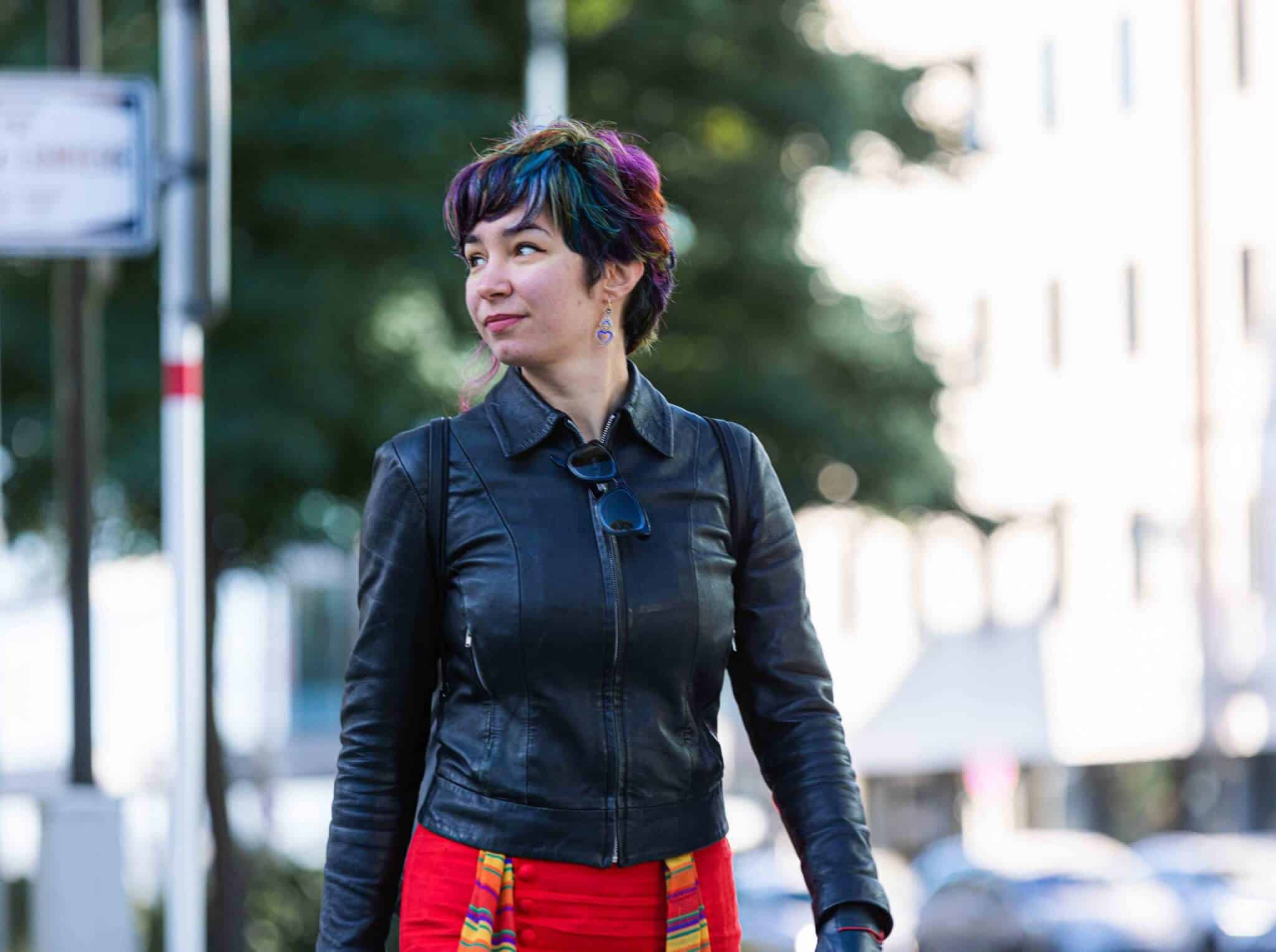
Photo: Ekaterina Stambolieva, Founder of Nina Space © Serge Deuces


