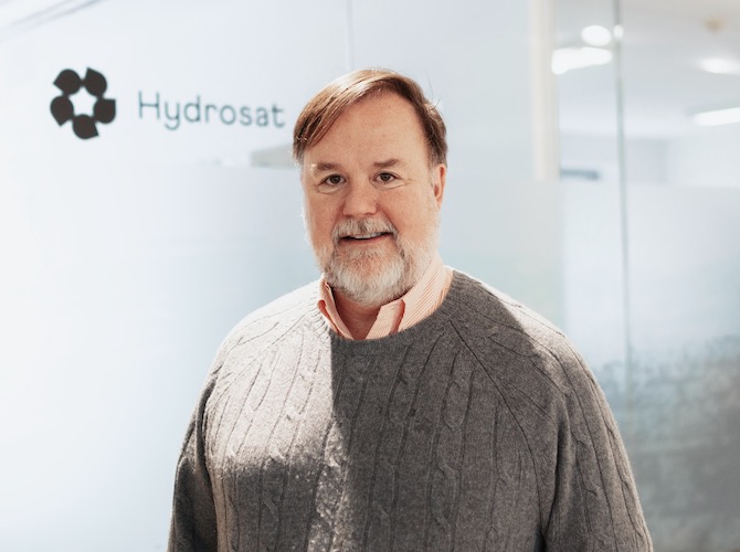
In this thought piece, co-founder and president of Hydrosat Royce Dalby examines how space tech is helping to address food security and environmental challenges.
Droughts, floods, superstorms, and wildfires: lately, it seems that every year brings more natural catastrophes. For decades, climate change was an abstract concept that would affect our lives “sometime in the future,” but the luxury of complacency is no longer possible. Climate change is here, sometimes impacting people’s lives with great force. Understanding climate change and figuring out how to withstand its consequences is more important now than ever.
As if extreme weather events weren’t enough, the world is facing a population challenge that has also been growing over decades. In November the world crossed the 8-billion-person threshold, and it continues to climb. These people need room to live, so cities keep expanding, wiping out farmland, forests, and other natural spaces along the way.
It’s a terrible conflation of trends. On one hand, agriculture has become unpredictable because of climate change and the extreme weather that it brings. Droughts in Europe, floods in Pakistan, fires in California – these major stories of the last year are becoming ordinary, and with them food security grows more precarious. On the other hand, we have more people to feed and less land to do so. It all adds up to a brewing crisis that could lead to mass starvation, especially in the more vulnerable parts of the world.
This is where space systems can help, as satellites are uniquely designed to provide a comprehensive view of our global environment. Visible and near infrared constellations such as Airbus’s SPOT satellites, or those from companies like Planet Labs and BlackSky, provide persistent coverage, helping us monitor events as they happen and recognize emergencies sooner than ever. In agriculture they are especially good at alerting scientists to disease and pest infestations. Radar systems such as Capella and Iceye have the benefit of seeing through clouds, and they are excellent at tracking the impact of a disaster and speeding recovery.
However, the real revolution for agriculture will come when there are high-resolution thermal infrared sensors in space. Thermal satellites take the temperature of the planet, including crops, and can precisely measure water stress weeks ahead of other methods. This means that farmers can be more productive with their fields in the best of circumstances, and in challenging weather conditions they can get alerts sooner than ever. In fact, scientific studies on farms have demonstrated that if growers irrigated their crops using inputs from thermal imagery, they would end the year with at least a 20% increase in production – thus enabling them to feed more people with the same amount of land. As a side benefit, they also conserve a significant amount of water, so the benefits are compounded.

NASA and the European Space Agency (ESA) already have thermal spacecraft in orbit. Their satellites are relatively low resolution and don’t provide frequent coverage of the planet, yet they still deliver valuable insights. Thanks to ESA’s Sentinel 3 satellites, for example, scientists have a deeper appreciation for the impact of ocean circulation patterns on weather systems and are better able to detect red tide events.
Some companies are already using thermal data to improve agriculture. One example is a Dutch company called IrriWatch, which applies proprietary algorithms to sharpen the government’s thermal data, creating a “synthetic” high-resolution image that they use to make farmers more efficient and more productive. IrriWatch has a platform that monitors farmers’ fields, alerts them to trouble spots, and advises them when crops are showing water stress. This fast-growing 3-year-old company is already serving customers in 36 countries around the world.
Yet most companies that use thermal imagery to improve farm management, such as Ceres Imaging in California, are still relying on drones and aircraft, because data from government satellites is not precise or frequent enough for many applications. Ceres uses thermal imagery to make farms more productive through early detection of problem areas, and they can support even small farms or target sections of fields with aerial data, something that won’t be possible with space systems until the more capable commercial thermal constellations are available. The new systems under development are focused on addressing real-world applications, and they cannot be deployed fast enough for those looking to enhance farming the world over.
Climate change is the challenge of our time, and for agriculture it will be essential to diminish its impact if we are to maintain food security and ensure that people don’t starve. Farmers need to grow more food on less land, and somehow they have to do this while also combatting bouts of extreme weather events. Satellites will be an essential tool to help agriculture flourish, and high-resolution, frequent thermal infrared systems will be the innovation that ensures farmers succeed.
Royce Dalby is the co-founder and president of Hydrosat, a Luxembourg geospatial intelligence company that is developing a constellation of thermal spacecraft to address food security and environmental challenges.
This article was originally published in the 2023 Spacetech issue of Silicon Luxembourg.

